
Start with gross area and remove hard exclusions
Begin with the surveyed or assessor parcel boundary and its gross acreage, then remove the features that can never host equipment. Water bodies, delineated wetlands, and regulatory floodway are the first cut. Existing structures and their working areas come next, along with any area the landowner intends to keep in use.
Recorded easements and rights of way are the exclusions most often missed at screening. Transmission corridors, gas pipelines, distribution lines, drainage easements, and access easements benefiting neighbors all restrict the surface. A transmission corridor may help interconnection, but the corridor itself is not buildable.
Floodplain deserves a judgment call. The regulatory floodway is a hard exclusion. The wider flood fringe can sometimes host racking on elevated piles, but it adds permitting, insurance, and geotechnical cost. Decide your risk tolerance up front and apply it consistently so screened parcels can be compared on the same basis.
Apply regulatory setbacks and buffers
Setbacks come from the local zoning ordinance, not from a default. Most solar ordinances specify distances from property lines, public road rights of way, and non-participating residences, and the numbers vary widely by county and township. Some jurisdictions measure the residence setback from the dwelling, others from the residential parcel line, and the difference can remove or restore tens of acres.
Environmental buffers stack on top of zoning setbacks. Wetland buffers, stream and riparian buffers, and buffers around wellheads or cultural sites are set by state agencies or local ordinances and measured outward from the resource boundary. Apply each buffer to its own feature, then union the result with the setback polygons.
Participation status matters. Many ordinances relax setbacks along a boundary shared with a landowner who has signed a participation or good neighbor agreement. Buildable acreage is therefore partly a function of outreach, and an early estimate should state which boundaries are assumed participating so it can be revised as agreements are signed or declined.
Slope, aspect, soils, and tree cover
Slope is the terrain constraint that most often surprises teams working from a flat map. Single-axis trackers tolerate limited north-south grade and are more forgiving east-west, while fixed-tilt racking accepts steeper ground but still has limits. Compute slope from an elevation model fine enough to catch swales and terraces, classify the parcel against your racking tolerance, and exclude what fails.
Aspect matters as much as gradient. Ground that slopes away from the sun, which in the northern hemisphere means north-facing terrain, receives less irradiance and casts longer inter-row shadows for a given pitch. On trackers, north-facing slope also forces backtracking to flatten the modules earlier, costing energy. Many teams treat moderate south-facing slope as fully buildable and derate or exclude comparable north-facing slope.
Soils and geotechnical conditions rarely remove acres on their own, but they change the cost of building on them. Shallow bedrock, expansive clays, high water tables, karst, and corrosive soils push piles toward pre-drilling, ballast, or ground screws. Flag these areas and carry a cost adjustment so buildable acres are not treated as equally cheap.
Tree clearing is a decision, not a given. Wooded acres can be cleared to add buildable area, but clearing adds cost, may trigger permits or mitigation for forest conversion, and can create community opposition. Calculate buildable acreage with and without clearing and carry both figures until the economics settle it.
Shape and fragmentation reduce what acres can hold
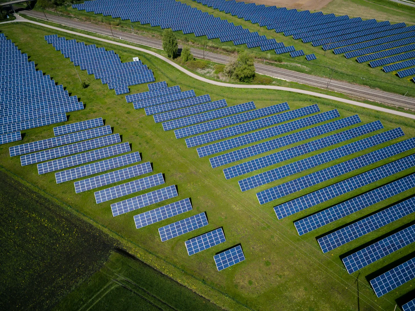
Two parcels with identical buildable acreage can hold very different capacity because arrays are built in rows and blocks, not in whatever polygon happens to remain. A hundred usable acres in one rectangular block hosts more modules than a hundred acres split into three pieces, because each fragment needs its own edge allowances, turnaround room, and often its own fence and road stub.
Narrow polygons are the worst case. A tracker row has a minimum practical length, and a strip that is buildable on paper but too narrow for rows with access lanes contributes nothing. Fragments separated by a stream, a wetland, or another parcel also need cable and road crossings, each with permits and cost. If a fragment cannot be economically connected, treat it as non-buildable for the base case.
Land consumed by roads, pads, stormwater, and fence
The remaining polygon is not all modules. Interior access roads run along block edges and between inverter groups, and they consume land that would otherwise hold racking. Inverters and medium-voltage transformers sit on skids through the array, and the project substation and point of interconnection equipment need a fenced pad of their own, usually on the edge nearest the utility line.
Stormwater and fencing finish the list. Many jurisdictions require detention or infiltration basins sized to the new roads and impervious surface, and those basins occupy low ground that may be the only flat land on the site. The perimeter fence sits inside the setback line, and racking stays inside the fence with a maintenance lane. These allowances are why buildable acres are always larger than array acres.
Converting buildable acres to MWdc and MWac
Capacity per acre is driven by four design choices: racking type, ground coverage ratio, module efficiency, and DC/AC ratio. Ground coverage ratio is module area divided by ground area and is set by row pitch. Higher GCR packs more modules per acre but increases row-to-row shading, trading capacity against yield per module. Trackers generally run lower GCR than fixed tilt because they need room to rotate, so fewer MWdc per acre but more energy per MWdc.
Module efficiency raises capacity per acre directly. DC/AC ratio then links MWdc to MWac: inverter capacity is what the interconnection agreement covers, and developers typically oversize the DC side so inverters run near full output for more hours. As a hedged rule of thumb, utility-scale projects land somewhere around five to eight acres per MWac, with trackers toward the higher end of land use and dense fixed tilt toward the lower end.
Rules of thumb are fine for a first pass and wrong for a pro forma. An auto-layout that places real rows on the constrained polygon, respects slope tolerance, routes roads, reserves pads, and counts the modules it actually placed produces a number that survives diligence.
A worked example
Consider a hypothetical 400-acre farm parcel, with round numbers chosen only to illustrate the method. A stream with mapped wetlands runs along one side and a transmission line crosses one corner. Removing the wetlands, the stream, the transmission right of way, the farmstead, and a small floodway leaves 340 acres. County setbacks along the road frontage and property lines, the residence setback for two non-participating neighbors, and state wetland and stream buffers remove a further 60 acres, leaving 280.
Slope analysis finds 25 acres of steep, north-facing ground that fails the tracker tolerance, and the team decides not to clear 15 wooded acres in the back corner. That leaves 240 buildable acres in two pieces: a main block of 210 acres and a 30-acre fragment beyond the transmission line that would need a crossing. For the base case the fragment is set aside, so the working figure is 210 acres.
An auto-layout on the 210-acre block, with trackers at a moderate GCR, interior roads, inverter pads, a substation pad near the transmission line, and two stormwater basins, places roughly 35 MWac of inverters and, at a typical DC/AC ratio, around 45 MWdc. Quoting the 400 gross acres at a rule of thumb would have suggested close to double that. The layout figure is the one to carry forward.
Common errors
The most frequent error is quoting gross acres, or gross acres times a ratio, to an investment committee or an interconnection application. Every later step subtracts from that number, and a project sized on gross acres arrives at its first real layout already short of the capacity it filed for.
Using default setbacks instead of the jurisdiction's is the second. The third is treating mapped wetland inventories as exact boundaries. Inventory data is a screening indicator; a field delineation can find wetlands it misses or shrink ones it overstates, so label the buildable number as pre-delineation until a wetland scientist has walked the site.
Other recurring mistakes include missing recorded easements until title work, running slope analysis on coarse elevation data, counting fragmented slivers as buildable, forgetting the substation and stormwater footprint, and reporting array acres and buildable acres as the same thing. Modern screening platforms such as Basepoint help by applying real ordinance setbacks, mapped constraints, and terrain to the parcel polygon and running a layout automatically, so the day-one number is closer to what a civil engineer will confirm.